Property Developers
Provide funders, councils and stakeholders with accurate, current site data reducing delays between site inspection and decision making.
 Contact Us

Point Mapping provides property developers, government agencies and agricultural operations with survey grade aerial data to support planning approvals, cost control and project reporting.
Start A Project
Provide funders, councils and stakeholders with accurate, current site data reducing delays between site inspection and decision making.
Data prepared to the standard required for procurement, compliance and audit purposes.
Identify drainage and crop health issues early, supporting timely intervention and reduced losses.

Site managers, engineers and investors work from the same current dataset.
Cut-and-fill and stockpile volumes are measured directly, not estimated.
Data suitable for direct use in design and planning, reducing the need for rework.
Repeat data capture identifies changes before they result in delays or variations.
Land and vegetation condition monitored across the season, rather than captured as a single snapshot.
Deliverables formatted to meet the requirements of councils, funding bodies and regulators.

Survey
Design
Construction
Handover
Operation
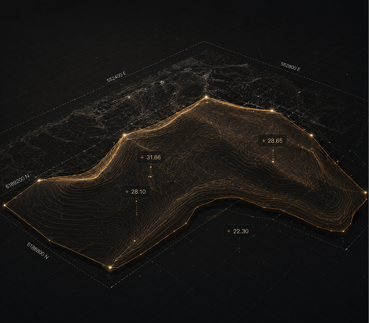

Approval processes, funding applications and regulatory review require more than imagery. Point Mapping provides measured, verifiable data—including boundaries, volumes and elevations—prepared to support these requirements.